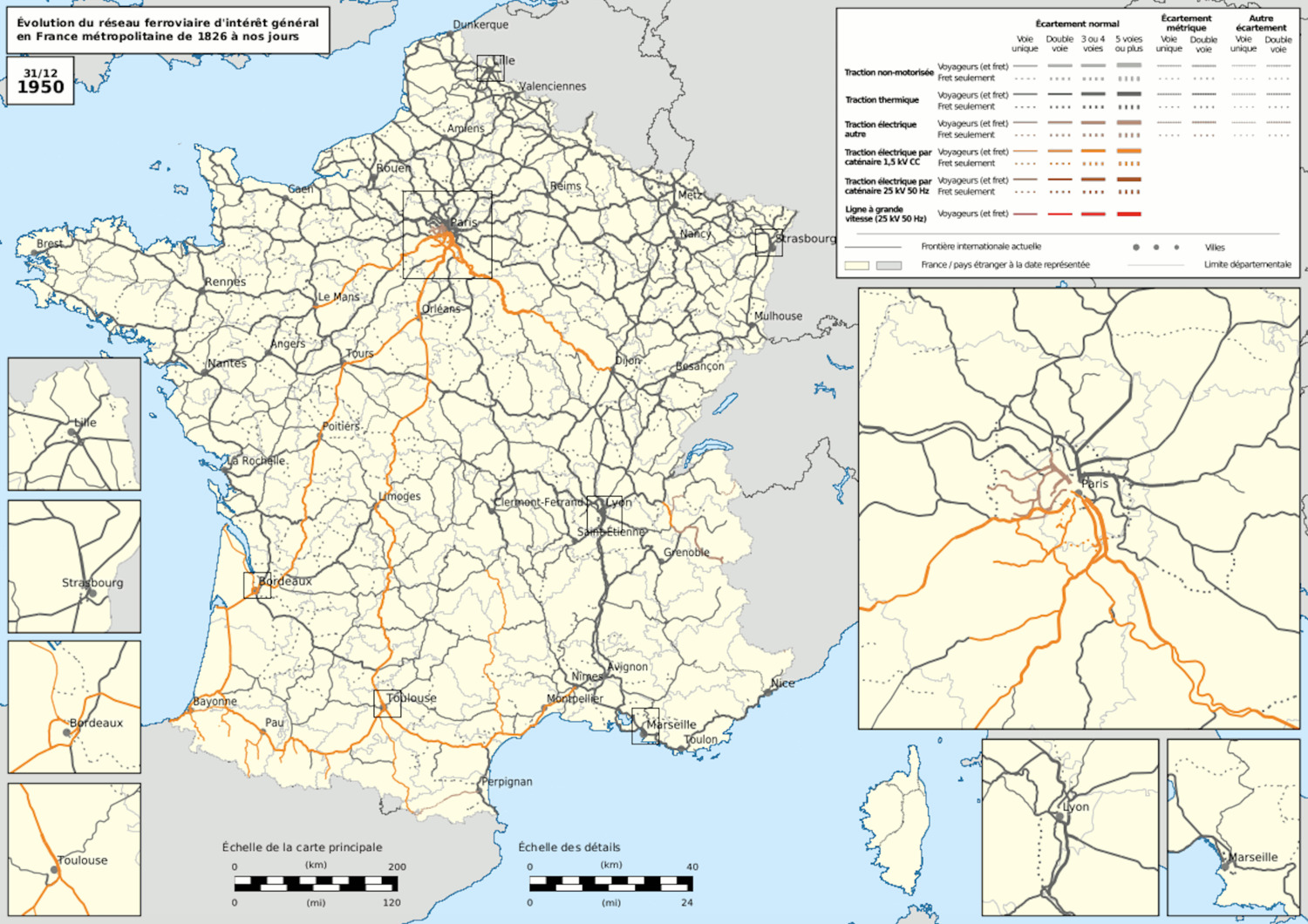
These map is an extract of an animated map which shows the development of the general-interest rail network in mainland France from the advent of the railway in 1827 (1826 is shown as a benchmark) to 2020. The animated map can be viewed at this address:
https://commons.wikimedia.org/wiki/File:Railway_map_of_France_-_animated_-_fr_-_medium.gif?uselang=fr
It highlights the expansion of the rail network from the 1920s/1930s and the creation of electric traction lines and then high-speed lines.
type
Visual representation
created
2021-01-31
posted
2023-08-25
classification number
description
These maps show the development of the general-interest rail network in mainland France from the advent of the railway in 1827 (1826 is shown as a benchmark) to 2020. They highlight the expansion of the rail network from the 1920s/1930s and the creation of electric traction lines and then high-speed lines. The animated map can be viewed at this address: https://commons.wikimedia.org/wiki/File:Railway_map_of_France_-_animated_-_fr_-_medium.gif?uselang=fr
credits
- ©Benjamin Smith
- Wikimedia Commons
from outer collection
user rights
Creative Commons Attribution-Share Alike
GNU Free Documentation License